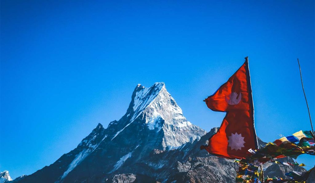
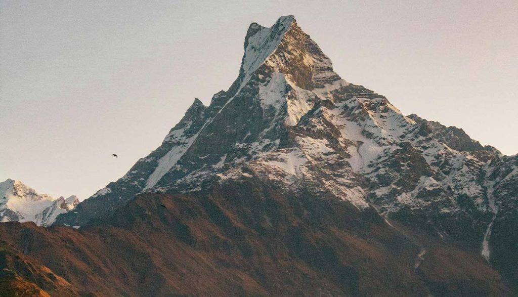
A lot of trekkers choose Mardi Himal because it looks shorter and simpler than other Annapurna routes, then get surprised by how quickly the trail climbs once you leave the lower villages. That is exactly why understanding the Mardi Himal Trek route map matters. A clear route picture helps you judge daily distances, sleeping altitudes, junctions, and where the steep sections begin before you are already on the hillside.
Mardi Himal is one of the best short treks in Nepal for trekkers who want big mountain views without committing to a long circuit. The route leads through forest, ridge trails, teahouse stops, and high alpine ground facing Machhapuchhre, Annapurna South, and Hiunchuli. It is not technically difficult in normal conditions, but the route still deserves proper planning, especially if you are trekking independently or trying to build your own itinerary.
How the Mardi Himal Trek route map is laid out
Most route maps begin in Pokhara, because that is the practical gateway for transport, supplies, and overnight stays. From Pokhara, trekkers usually drive to Kande, Phedi, or sometimes Dhampus Phedi depending on the itinerary. The most common and balanced route starts from Kande and follows Australian Camp, Pothana, Deurali, Forest Camp, Low Camp, High Camp, Mardi Himal Base Camp, then returns by the same high trail as far as Low Camp before descending toward Siding village.
On a map, this route looks straightforward, but there are a few important details. The lower trail section passes through established Annapurna foothill villages with multiple junctions. After Deurali, the trail becomes more focused and climbs through the forest toward the Mardi ridge. Once you are on the ridge system above Low Camp, the route is easier to follow in good weather, but altitude, exposure, and weather become more important than navigation alone.
If you look closely at a good map, you will notice that Mardi Himal Base Camp cannot be reached in one push from the lower villages. The route is staged through a gradual gain in sleeping altitude. That pacing is one reason the trek suits many first-time Himalayan trekkers.
Standard route from Kande to Mardi Himal Base Camp
The classic itinerary usually begins with a short drive from Pokhara to Kande. From there, the trail climbs through stone steps and village paths to Australian Camp, then continues to Pothana and Deurali. This first day is often underestimated because the uphill start is steady, but the route is well established and accommodation options are easy to find.
From Deurali, the map shows a clear turn away from the busier Annapurna Base Camp side and into the quieter Mardi Himal trail. The path enters dense forest and climbs to Forest Camp, also called Kokar by some locals and older maps. This section feels more remote, and the trail can be damp, muddy, or slippery in monsoon and late winter conditions.
The next stage runs from Forest Camp to Low Camp. You are still in the forest for much of the day, but the landscape starts opening up. Once you reach Low Camp, mountain views improve sharply if the weather is clear. Many trekkers first get dramatic Machhapuchhre views here.
From Low Camp, the trail continues to Badal Danda and High Camp. Some maps show Badal Danda separately, while others treat it as a stop between Low Camp and High Camp. In practical planning, this matters because trekkers who want a slower ascent can break the day here or at least use it as a major rest point. The ridge narrows as you gain altitude, and tree cover becomes thinner.
The summit day on most route maps is the walk from High Camp to Mardi Himal Base Camp and back. Depending on pace, weather, and trail conditions, this is usually a long day with an early start. The higher you go, the more exposed the trail becomes, and snow or ice can change timing significantly.
Main stops and approximate altitude
A map is most useful when you match trail segments with altitude, not just place names. The common overnight stops are roughly as follows: Kande at about 1,770 meters, Australian Camp around 2,060 meters, Pothana near 1,950 meters, Deurali around 2,100 meters, Forest Camp near 2,500 to 2,550 meters, Low Camp around 2,970 to 3,050 meters, Badal Danda near 3,250 meters, High Camp around 3,550 to 3,580 meters, and Mardi Himal Base Camp around 4,500 meters.
These figures vary a little between maps, GPS devices, and lodge signboards. That is normal in Nepal. For planning purposes, what matters more is the pattern of ascent. The biggest jump in sleeping altitude usually happens between Forest Camp, Low Camp, and High Camp. That is where many trekkers start feeling the thinner air.
How many days does the route usually take
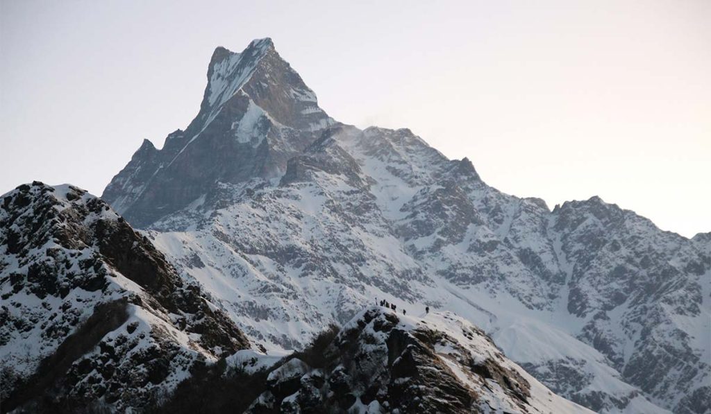
Most trekkers complete the route in 5 to 7 days from Pokhara to Pokhara, depending on the start point, pace, and return trail. A 5-day version is possible for fit trekkers, but it becomes more demanding because there is less flexibility for weather and acclimatization. A 6-day trek is often the best balance for first-time visitors who want time to enjoy the ridge and avoid rushing.
A common 6-day structure is Pokhara to Kande and trek to Deurali, then Forest Camp, then Low Camp, then High Camp, then Base Camp and descend to Low Camp or Siding, then exit to Pokhara. Shorter itineraries often skip Deurali or push from Low Camp to Base Camp and descend the same day. That can work, but only if the trekker is well prepared and the conditions are stable.
Where the route can change
Not every Mardi Himal Trek route map shows the same return path. The two main exit options are descending back along the same ridge route or dropping from Low Camp toward Siding village. The Siding exit is popular because it creates more of a loop and avoids repeating every stage. It also gives a different rural landscape and easier vehicle pickup in many cases.
Some itineraries begin from Phedi or Dhampus instead of Kande. These alternatives connect into the same general trail system through the lower Annapurna foothills. They are valid choices, but they slightly change the first day’s walking time and elevation gain.
In poor weather, especially with cloud, snowfall, or low visibility above High Camp, your practical route may stop short of Base Camp. A map shows the ideal line, but mountain conditions decide the real upper limit on the day.
What the map does not tell you
A route map gives structure, but it does not fully show the trail effort. The section from Deurali to Forest Camp is not extreme, yet it can feel long because of the continuous uphill through the forest. The stretch from Low Camp to High Camp is visually rewarding but more exposed to sun, wind, and cold. The Base Camp day is usually harder than it appears on a simple map because of altitude, early start, and the return descent.
Maps also do not show the teahouse quality clearly. Lower down, lodges are more established and food choices are usually broader. Higher up, facilities become more basic. In peak seasons, room availability can also shape where you stop, especially around High Camp.
Best season to follow this route
Spring and autumn are the strongest seasons for this trek. In spring, the forest sections are especially attractive with rhododendron bloom, and the higher ridge is usually stable enough for regular trekking. Autumn brings crisp visibility and generally reliable trail conditions after the monsoon.
Winter can still be beautiful, but the upper route may have snow and ice, especially above High Camp. During monsoon, the trail through the forest can be wet, leech-prone, and cloudy, so a route map is less useful if views and safe footing are constantly limited by weather.
Planning advice before you go
If you are reading a map for itinerary planning, focus on three things: where you sleep, how high you sleep, and where your exit point is. Those decisions matter more than the total distance alone. Mardi Himal is manageable for many trekkers with moderate fitness, but the route becomes much more enjoyable when you avoid compressing too much altitude gain into one day.
Carry a map that marks Forest Camp, Low Camp, Badal Danda, High Camp, and the Base Camp approach clearly. Ask locally about current trail conditions once you reach Pokhara, because landslides, snow, and lodge operations can shift the practical plan from season to season.
For trekkers who want a short Himalayan route with a strong mountain reward, Mardi Himal remains one of the smartest choices in Nepal. Study the route map well, pace the ascent properly, and the trail will feel far more accessible once each stop fits into a clear picture.