The Gokyo Cho La crossing is the demanding link between the Gokyo Valley and the Everest Base Camp side of the Khumbu. It combines a high Himalayan pass, glacier views, long trekking days, and real altitude exposure. For many trekkers, it is the hardest single day on the Gokyo Lakes and Everest Base Camp circuit – not because the path is technical in normal conditions, but because the pass reaches 17,782 feet (5,420 meters) after several days already spent at high elevation.
This is a rewarding route for well-prepared trekkers who want more than a standard out-and-back itinerary. It is not a pass to treat casually. Weather, acclimatization, snow, and early starts all determine whether the day feels demanding but manageable or unnecessarily risky.
What Is the Gokyo Cho La Crossing?
Cho La is a high mountain pass in Nepal’s Everest region, connecting Thagnak or Dragnag in the Gokyo Valley with Dzongla on the eastern side of the Khumbu. Most trekkers cross it west to east, traveling from Gokyo toward Dzongla before continuing to Lobuche, Gorak Shep, and Everest Base Camp. The route can also be done in reverse as part of an Everest Base Camp to Gokyo itinerary.
The usual west-to-east crossing begins with a very early departure from Thagnak, generally around 4,700 meters. Trekkers climb steadily over rocky, often frozen ground to the pass, cross a small glacier section near the top, then descend a steep and sometimes slippery route toward Dzongla at roughly 4,830 meters.
The day is commonly listed as six to eight hours, but that estimate can be misleading. A strong, acclimatized group on dry trails may move faster. Fresh snow, ice, wind, congestion on the ascent, or a slower trekking pace can make it a much longer day. There are no tea houses between the two villages, so water, food, warm layers, and basic emergency supplies must be carried from the start.
How Difficult Is the Gokyo Cho La Crossing?
The Gokyo Cho La crossing is best described as strenuous high-altitude trekking. It does not usually require ropes, climbing experience, or technical mountaineering skills in stable conditions. However, it is more difficult than most days on the standard Everest Base Camp route.
The main challenge is the combination of elevation and terrain. You are climbing above 5,400 meters, often before sunrise, on uneven rock and potentially snow-covered trail. The descent from the pass can be steep, with loose rock or ice underfoot. At that altitude, even fit hikers may find that a modest slope requires frequent rest breaks.
It is a suitable objective for trekkers with previous multi-day hiking experience, good cardiovascular fitness, and a sensible acclimatization plan. First-time Himalayan trekkers can complete it, but should not choose the route simply to make an itinerary more ambitious. If you have struggled with altitude earlier in the trek, have a knee injury, or are traveling during unstable winter conditions, a return route through the Gokyo Valley may be the safer choice.
The Pass Is Harder Than Its Distance Suggests
Distance alone does not explain Cho La’s difficulty. The altitude limits pace and recovery, while the cold makes hands, feet, and hydration harder to manage. The high point comes before the descent is finished, so reaching the pass does not mean the demanding portion is over.
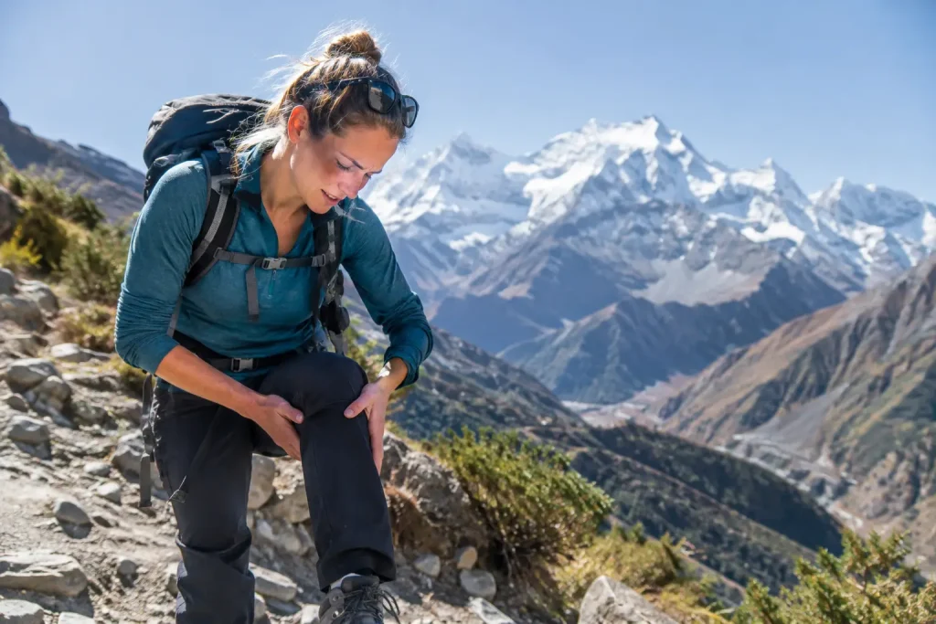
The downhill walk to Dzongla is especially important to consider. Trekkers who are comfortable climbing may still find the descent tiring, particularly with fatigue, snow, or sore knees. Trekking poles are highly useful here, but they do not replace careful footing.
Acclimatization Before Crossing Cho La
A successful pass day is usually decided several days earlier. The strongest predictor of a safe crossing is not speed or athletic confidence – it is whether your itinerary provides enough time to acclimatize.
Most sensible Gokyo itineraries include gradual ascent through Namche Bazaar, Dole, Machhermo, and Gokyo. An acclimatization day in Namche is essential for most visitors. A second acclimatization day in Gokyo, often used for the hike to Gokyo Ri, gives many trekkers a better chance of adjusting before moving to Thagnak and crossing the pass.
Avoid scheduling Cho La immediately after a rapid ascent to Gokyo. You may feel fine at breakfast and still develop significant symptoms during a long day above 5,000 meters. Headache, nausea, dizziness, unusual fatigue, poor coordination, or shortness of breath at rest need to be taken seriously. Do not push over the pass to keep a flight date or meet an itinerary target. Descending is the primary response to worsening altitude illness.
Sleeping lower than the pass is normal, but it does not eliminate risk. The route still asks your body to perform at very high elevation for hours. Build extra contingency time into the trek so weather or health decisions do not become financial or logistical pressure.
Best Season for the Cho La Pass
Spring, generally March through May, and fall, generally late September through November, are the most reliable periods for the Gokyo Cho La crossing. These seasons typically offer the most stable trekking conditions, clearer views, and open tea houses throughout the Everest region.
Fall often brings crisp mornings and dry trails, although temperatures at the pass can still be well below freezing. Spring offers warmer daytime conditions and longer daylight, but afternoon cloud can build quickly and late-season snow remains possible.
Winter crossings are possible for experienced, properly equipped trekkers when weather is stable, but they carry higher risk. Heavy snow can obscure the route, hard ice can make the descent hazardous, and cold temperatures increase the consequences of delays. Tea houses may also be quieter or partially closed in some villages. During monsoon season, clouds, precipitation, wet rock, and flight disruptions make the route less predictable.
Conditions can change overnight in the Khumbu. Ask local lodge owners, guides, and other trekkers about current pass conditions in Thagnak or Dzongla rather than relying only on a seasonal forecast.
Gear That Matters Most on the Crossing
A standard Everest-region trekking kit is appropriate, but Cho La is the day to make sure the cold-weather items are accessible rather than buried in a duffel bag. Start with a warm insulated jacket, waterproof shell, thermal base layer, hat, neck protection, and insulated gloves. Wind at the pass can make a mild forecast feel much colder.
Wear broken-in hiking boots with dependable traction and enough room for warm socks. Do not attempt the pass in lightweight running shoes. Trekking poles reduce strain on the descent and help with balance on loose or icy surfaces.
If snow or ice is present, local guidance may recommend microspikes or other traction equipment. Do not assume they are necessary in every season, but do not assume dry conditions either. A guide can help assess whether your equipment is appropriate for that day’s route.
Carry at least two liters of water, snacks that remain edible in cold temperatures, sun protection, a headlamp, and a small personal first-aid kit. The pre-dawn start is deliberate: the goal is to cross before afternoon cloud, wind, or snow makes the route less favorable.
Permits and Trek Logistics
Trekkers entering the Everest region generally need the Sagarmatha National Park entry permit and the Khumbu Pasang Lhamu Rural Municipality permit. Permit rules, checkpoints, and fees can change, so confirm the current requirements before departure. A TIMS card is generally not required for the standard Everest region route, but this should also be verified if your itinerary includes areas outside the usual Khumbu trail system.
Most itineraries reach the Gokyo Valley after flying to Lukla, although road-based approaches are possible and may be useful when flight schedules are disrupted. Plan for weather delays in either direction. A rigid international departure schedule is one of the most common reasons trekkers make poor decisions about pace, acclimatization, or crossing conditions.
Should You Cross Cho La With a Guide?
A guide is not legally required for every Everest-region itinerary, but guided support is a strong choice for many travelers crossing Cho La. The value is not simply route finding. A knowledgeable guide can monitor acclimatization, judge trail conditions, coordinate accommodation, adjust the itinerary, and make conservative decisions when weather turns.
Independent trekkers with high-altitude experience can complete the route safely when conditions are good and preparation is thorough. Even then, communicate your plans at the lodge, begin early, avoid crossing alone if possible, and be willing to turn back. The pass will still be there on a future trip.
The best approach to Cho La is calm preparation: add acclimatization days, carry the right layers, listen to local condition reports, and leave enough time to choose safety over schedule. That preparation gives you the best chance to enjoy the crossing for what it is – one of the Khumbu’s most memorable high-altitude trekking days.